Tin in the Ore Mountains: Helicopter searches for deposits
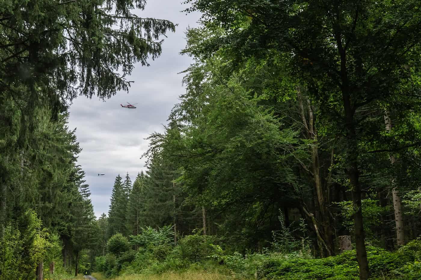
A helicopter is currently circling over the region around Gottesberg in the Ore Mountains. Using a special probe, researchers from the TU Bergakademie Freiberg are surveying tin deposits deep beneath the Ore Mountains.
Read Aloud
0:00
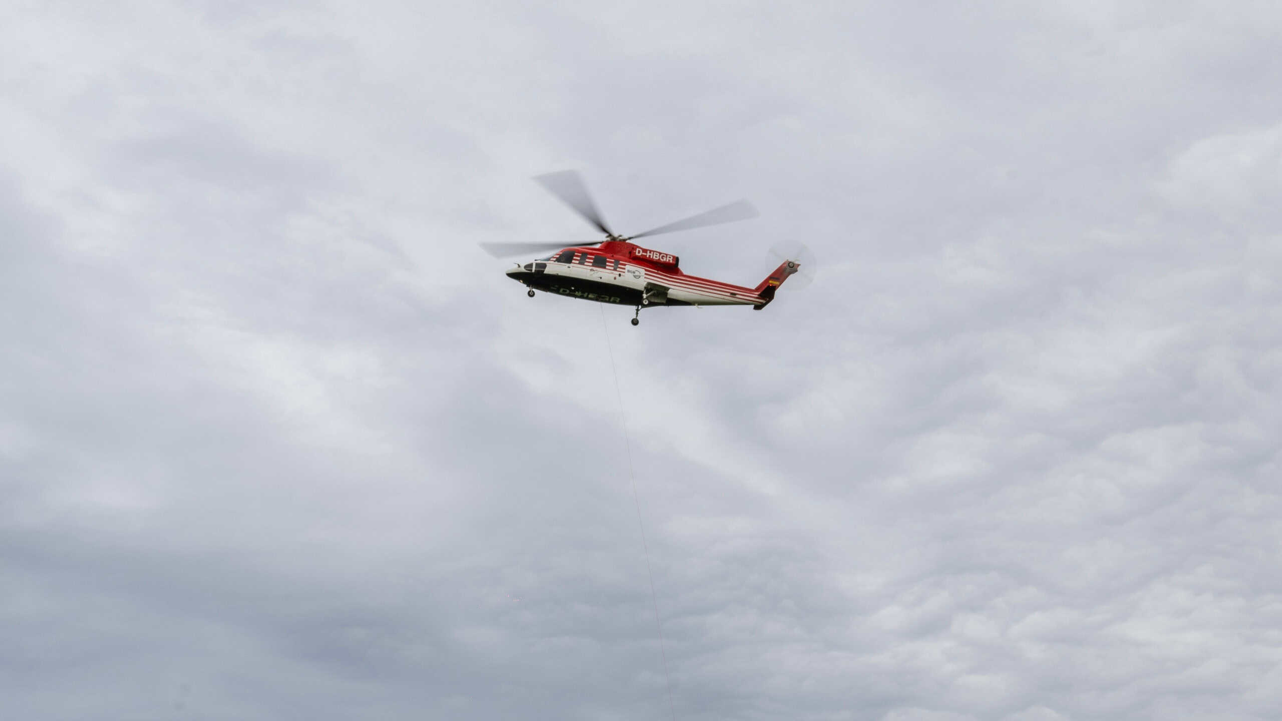
Researchers are using a helicopter to survey tin deposits in the western Ore Mountains from the air. © TUBAF
Modern technology would hardly function without tin. This raw material is found in smartphones, computer chips, and many everyday devices. Tin deposits lie dormant in the Ore Mountains, some of them deep underground. A team from the TU Bergakademie Freiberg is now taking a closer look at one such deposit. Through September 12, a helicopter from the Federal Institute for Geosciences and Natural Resources will be flying over the region around Gottesberg in the western Ore Mountains. Kilometers of power cables run along the ground. Working in conjunction with the helicopter, the team is mapping the subsurface. The goal is to create a precise 3D model of the tin deposits.
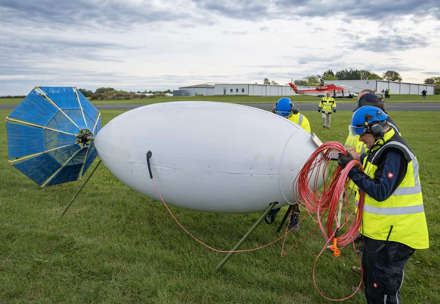
The probe attached to the helicopter contains highly sensitive magnetic field sensors. The power cables on the ground emit electrical signals, which in turn interact with conductive ore bodies underground. The sensors measure the resulting magnetic fields from the air. Experts call this method “semi-airborne electromagnetics.” It is considered environmentally friendly because no drilling is required. The method has already been tested in the Harz Mountains, Sweden, Spain, and Namibia. Now, a further development is being used for the first time in the Ore Mountains.
New Approaches to Environmentally Friendly Mineral Exploration
“The Ore Mountains have already been well explored in certain areas through drilling and geochemical data, but there is a lack of three-dimensional models, especially for great depths,” explains Thomas Günther, professor of applied geophysics at the TU Bergakademie Freiberg. Such models can be created indirectly using the electrical conductivity of the subsurface and provide more precise targets for drilling. The team expects to see initial results in the fall of 2026.
Semi-airborne electromagnetics can be used to measure the electrical properties of rock and sediments over large areas and to depths of up to 1,000 meters –without drilling. Specially developed software converts the measurement data into three-dimensional models of electrical conductivity. These models show where ore veins might run underground. In addition, AI-supported predictions as well as other geophysical, geological, and geochemical data are incorporated into the analysis.
From Research to Practice
“Together with data from existing drill holes, we will generate reliable 3D models by spring 2027,” says Günther. These models enable more accurate predictions about the deposits, which can then be verified through further drilling. Another flight will follow in August 2027, this time focusing on the Hämmerlein-Tellerhäuser project area.
The DESMEX-MinD project aims to further develop the method for industrial use. Companies from the region, including Beak Consultants and Saxore Bergbau, are participating. The more precise information about deposits is intended to help develop domestic raw material resources in a more targeted manner in the future.